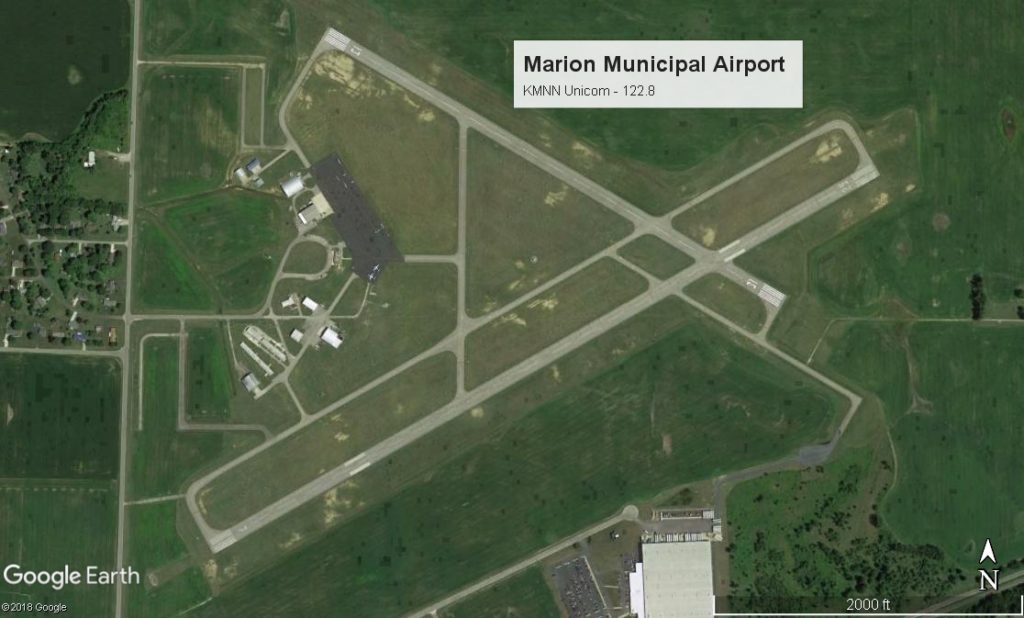
Welcome to the KMNN
Location
| FAA Identifier: | KMNN Marion Municipal Airport |
| Lat/Long: | 40-36-58.5000N / 083-03-48.5000W 40-36.975000N / 083-03.808333W 40.6162500 / -83.0634722 |
| Elevation: | 993.4 ft. / 302.8 m |
| Variation: | 05W (1985) |
| From city: | 3 miles NE of MARION, OH |
| Time zone: | UTC -5 (UTC -4 during Daylight Saving Time) |
| Address: | 1530 Pole Lane Rd. Marion, OH 43302 |
Airport Operations
| Airport use: | Open to the public |
| Activation date: | 09/1950 |
| Control tower: | no |
| ARTCC: | CLEVELAND CENTER |
| FSS: | CLEV FLIGHT SERVICE |
| NOTAMs facility: | MNN (NOTAM-D service available) |
| Attendance: | 0800-1700 |
| Pattern altitude: | 1793.4 ft. MSL |
| Wind indicator: | lighted |
| Segmented circle: | no |
| Lights: | AFT 0000 ACTVT MIRL RYS 07/25 & 13/31; REIL RYS 07; 25; 13 & 31 – CTAF. |
| Beacon: | white-green (lighted land airport) Operates sunset to sunrise. |
Airport Communications
| CTAF/UNICOM: | 122.8 |
| WX ASOS: | 119.975 (740-383-3400) |
| MANSFIELD APPROACH: | 124.2 [0600-2300] |
| MANSFIELD DEPARTURE: | 124.2 [0600-2300] |
| CLEARANCE DELIVERY: | 126.8 |
| WX AWOS-3 at 17G (11 nm N): | 126.625 (419-562-0279) |
Airport Services
| Fuel available: | 100LL JET-A1 JET-A1+ 100LL AVAIL 24/7 SELF-SERVE WITH CREDIT CARD. JET A AVAILABLE AFTR HRS ON REQUEST, COORD REQ. |
| Parking: | hangars and tiedowns |
| Airframe service: | MAJOR |
| Powerplant service: | MAJOR |
| Bottled oxygen: | NONE |
| Bulk oxygen: | NONE |
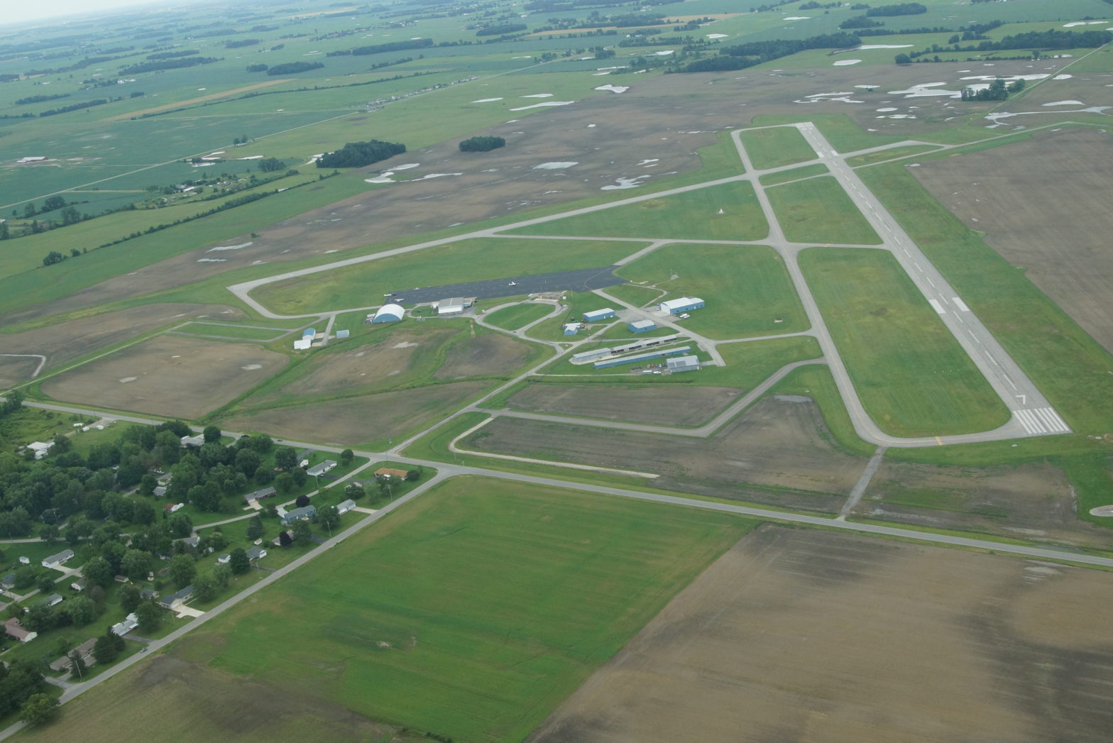
Runway 7/25
| Dimensions: | 5000 x 100 ft. / 1524 x 30 m | ||||||||
| Surface: | asphalt/grooved, in fair condition | ||||||||
| Weight bearing capacity: |
|
||||||||
| Runway edge lights: | medium intensity | ||||||||
| RWY 7 | RWY 25 | ||||||||
| Latitude: | 40-36.685215N | 40-37.097622N | |||||||
| Longitude: | 083-04.279920W | 083-03.344680W | |||||||
| Elevation: | 989.4 ft. | 993.4 ft. | |||||||
| Gradient: | 0.1% | 0.1% | |||||||
| Traffic pattern: | left GLIDERS AND TOWPLANES USE RIGHT TFC PAT FOR RWY 07. |
left | |||||||
| Runway heading: | 065 magnetic, 060 true | 245 magnetic, 240 true | |||||||
| Markings: | nonprecision, in good condition | nonprecision, in good condition | |||||||
| Visual slope indicator: | 4-light PAPI on left (3.00 degrees glide path) | 4-light PAPI on left (3.00 degrees glide path) | |||||||
| Runway end identifier lights: | yes | yes | |||||||
| Touchdown point: | yes, no lights | yes, no lights | |||||||
| Instrument approach: | LOC/DME | ||||||||
| Obstructions: | 15 ft. road, 475 ft. from runway, 280 ft. left of centerline, 18:1 slope to clear | 85 ft. trees, 3050 ft. from runway, 155 ft. right of centerline, 33:1 slope to clear | |||||||
Runway 13/31
| Dimensions: | 3498 x 100 ft. / 1066 x 30 m | ||||||||
| Surface: | asphalt/grooved, in fair condition | ||||||||
| Weight bearing capacity: |
|
||||||||
| Runway edge lights: | medium intensity | ||||||||
| RWY 13 | RWY 31 | ||||||||
| Latitude: | 40-37.239908N | 40-36.952393N | |||||||
| Longitude: | 083-04.130898W | 083-03.475950W | |||||||
| Elevation: | 986.2 ft. | 989.4 ft. | |||||||
| Gradient: | 0.2% | 0.2% | |||||||
| Traffic pattern: | left | left GLIDERS AND TOWPLANES USE RIGHT TFC PAT FOR RWY 31. |
|||||||
| Runway heading: | 125 magnetic, 120 true | 305 magnetic, 300 true | |||||||
| Markings: | nonprecision, in good condition | nonprecision, in good condition | |||||||
| Visual slope indicator: | 2-light PAPI on right (3.00 degrees glide path) | 2-light PAPI on left (3.00 degrees glide path) | |||||||
| Runway end identifier lights: | yes | yes | |||||||
| Touchdown point: | yes, no lights | yes, no lights | |||||||
| Obstructions: | 65 ft. trees, 1345 ft. from runway, 235 ft. right of centerline, 17:1 slope to clear | 47 ft. pline, 1875 ft. from runway, 275 ft. right of centerline, 35:1 slope to clear | |||||||
Airport Ownership and Management
| Ownership | Publicly Owned |
| Owner | CITY OF MARION CITY HALL MARION, OH 43302 Phone 740-387-2020 |
| Manager | Matthew Arnold 1530 POLE LANE RD MARION, OH 43302 Phone 740-382-1634 APRT DIR PHONE 740-341-2233 |
Additional Remarks
| – | GLIDER ACTVTY ON & IN VCNTY OF ARPT, ANNOUNCE INTENTIONS – CTAF |
| – | TSNT ACFT FOLLOW RAMP SIGNS TO MAIN RAMP. TWY D RESTRICTED BTN RWY & RAMP AREA TO ACFT WITH WINGSPAN 35FT OR LESS |
| – | APCH/DEP SVC PRVDD BY CLEVELAND ARTCC WHEN MANSFIELD APCH (MFD) CLSD ON 135.1/291.725 OR CALL 440-774-0485. |
| – | DEER, BIRDS AND OTHER WILDLIFE ON & IN VCNTY OF AIRPORT |